UN
10 Sandy Way
£ 243,500
Description
We don't have a Description for this property.
- Bedrooms
- 2
- Bathrooms
- 0


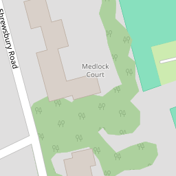


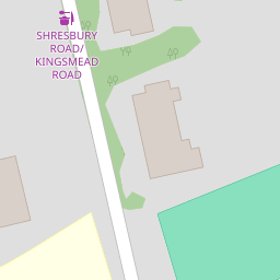


Leaflet © OpenStreetMap contributors
The heatmap indicates the level of crime in the area. The color of the heatmap indicates the crime severity and recency.
Metrics Year-on-Year
- Average area value
- 264,994.00 £Decreased by 11.03 %
- Average area rental value
- 797.00 £/moIncreased by 23.95 %
- Est rental Yield
- 3.61 %Increased by 39.38 %
- Crime Rate
- 3.00 %Unchanged by 0.00 %
from 297,853.00 £
from 643.00 £/mo
from 2.59 %
from 3.00 %
Nearby Schools
| Name | Type | Ofsted | Distance |
|---|---|---|---|
| Birkenhead High School Academy | Academy Sponsor Led | Outstanding | 0.20 KM |
| St Anselm'S College | Academy Converter | Good | 0.40 KM |
| Birkenhead School | Other Independent School | 0.51 KM | |
| Birkenhead Sixth Form College | Academy 16-19 Converter | Outstanding | 0.81 KM |
| Birkenhead Park School | Academy Sponsor Led | Requires improvement | 1.07 KM |
Images
Nearby Streets
| Name | Average Price | Average Sqft | Distance |
|---|---|---|---|
| St. Aidans Court | £ 0 | 0 | 0.00 KM |
| Saint Aidan's Terrace | £ 50,000 | 0 | 0.00 KM |
| Beresford Close | £ 0 | 0 | 0.00 KM |
| Grosvenor Road | £ 290,500 | 0 | 0.00 KM |
| Budworth Road | £ 0 | 0 | 0.00 KM |
Nearby Transport
| Name | NLC | TLC | Distance |
|---|---|---|---|
| Birkenhead Park | 2220 | BKP | 1.76 KM |
| Birkenhead North | 2145 | BKN | 1.91 KM |
| Conway Park | 3624 | CNP | 3.30 KM |
| Birkenhead Central | 2217 | BKC | 3.45 KM |
| Upton (Merseyside) | 2141 | UPT | 3.56 KM |
Nearby Listings
| Address | Price | Type | Score | Distance |
|---|---|---|---|---|
| Shrewsbury Road, Oxton, Wirral | £ 159,950 | BUY | 5 / 10 | 0.20 KM |
| Devonshire Place, Prenton, CH43 | £ 150,000 | BUY | 8 / 10 | 0.21 KM |
| Shrewsbury Road, Prenton, Wirral | £ 145,000 | BUY | 6 / 10 | 0.22 KM |
| Shrewsbury Road, Prenton, Merseyside, CH43 | £ 175,000 | BUY | 7 / 10 | 0.22 KM |
| Shrewsbury Road, Oxton, Wirral, CH43 | £ 160,000 | BUY | 5 / 10 | 0.22 KM |
Nearby Properties
| Address | Price | Distance |
|---|---|---|
| 10 Sandy Way | £ 243,500 | 0.00 KM |
| 4 Sandy Way | £ 217,000 | 0.01 KM |
| 126 Grosvenor Road | £ 80,000 | 0.11 KM |
| 132 Grosvenor Road | £ 200,000 | 0.11 KM |
| 81 Grosvenor Road | £ 179,950 | 0.11 KM |